
Skip to content
CV Carbon
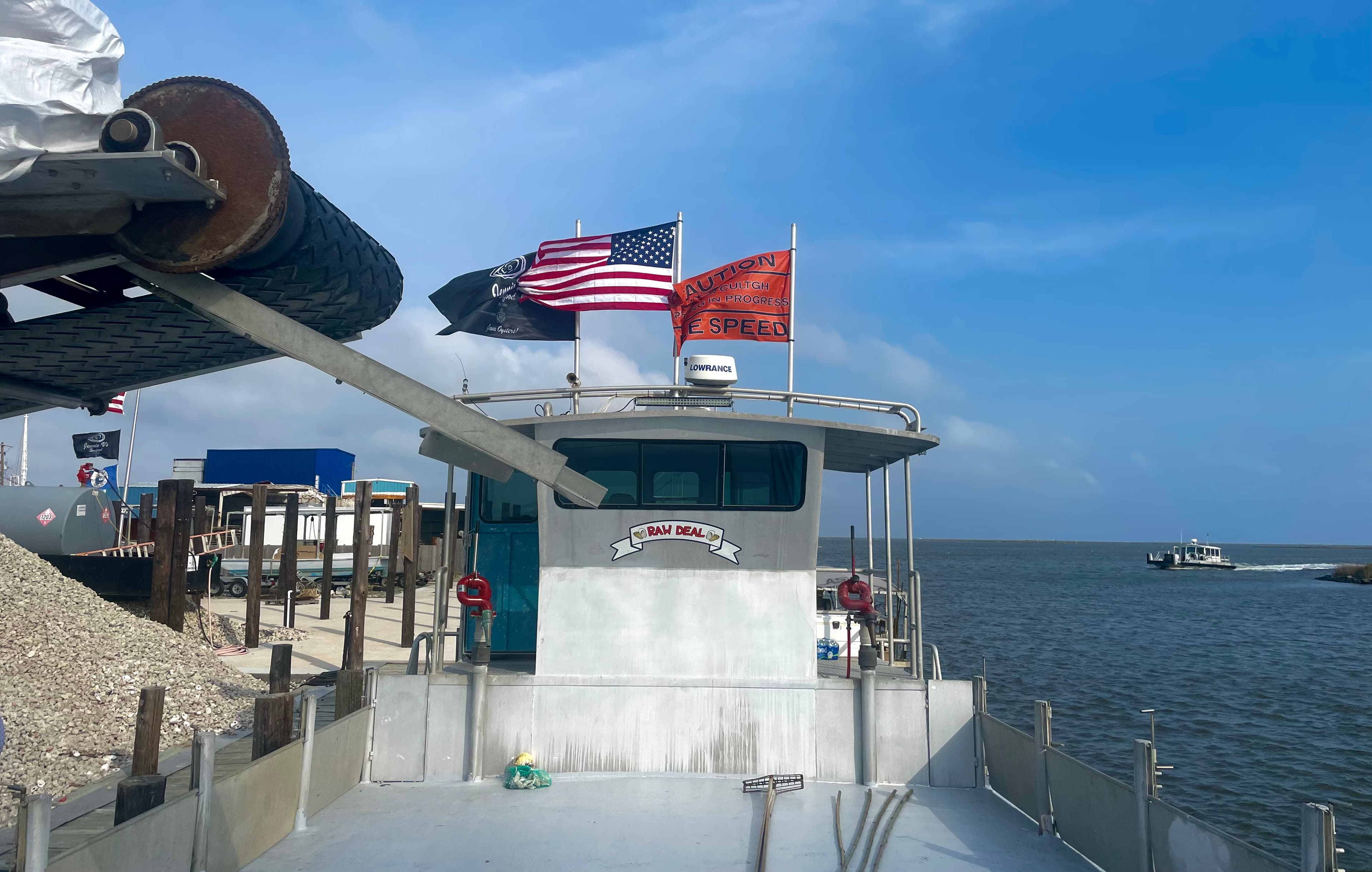
View from the wheelhouse of a working oyster boat

Field App Guide

CV Carbon Field,
step by step

CV Carbon Field is the mobile app our partner oystermen, staff, and independent verifiers use to record survey work on the water — polling passes, dredge and point samples, cultch placement, and field notes. This guide walks through every screen. Everything you save works offline and syncs on its own when you're back in coverage.

Everyone

01 · Getting started

Sign in and find your way around

Accounts are set up by CV Carbon as part of program onboarding — there is no self-signup. The app runs on iOS and Android phones and tablets; a device with GPS is all the hardware you need. The first sign-in needs an internet connection; after that, the app is built to spend whole days offline.

Signing in

  1. 1
    Open the app and enter your Email and Password, then tap Sign In.
  2. 2
    Forgot your password? Type your email first, then tap Forgot password?— a reset link arrives by email and opens a set-new-password page in your browser.
  3. 3
    You land on the map. That’s home base — every feature starts from here.

Which build am I on?

The version number is printed at the bottom of the sign-in screen and under Settings. Include it whenever you report a problem.

The menu

Tap the button in the top-left corner of the map. What you see depends on your role — the full list:

Dashboard
Sampling progress and lease status (leaseholders and staff).
Offline areas
Download map areas for use without a connection.
Time & expenses
Log hours and receipts (CV Carbon staff).
Check delivery
Log a delivered check (CV Carbon staff).
Bedding reimbursement
Request cultch reimbursement (leaseholders).
Settings
Your name, email, role, app version, and sign out.

Signing out is safe

Any unsynced field work stays on the device and uploads when you sign back in. The app tells you so before you confirm.
Everyone

02 · Reading the map

Layers, years, search, and your position

The map shows lease boundaries over satellite imagery, with your samples, cultch placements, and notes layered on top. A blue dot tracks your position; when you’re inside a lease, a Current leasebanner at the top of the screen names it — and everything you record is tagged to it automatically.

Layers & year

The layers button in the top-right opens the map controls. Pick the Yearyou’re working (this filters samples), and toggle layers: leases, owned leases, harvest closures, field notes, polling points, dredge samples, point samples, and bedding. Bedding has its own year filter — it defaults to All so every year of cultch investment stays visible.

Find a lease

Tap the search button in the top-right of the header and type at least two characters of a lease number or entity name. Tap a result and the map flies there. You’ll only ever see leases your account has access to.

Follow me

The round button in the bottom-right keeps the map centered on your position ( following · idle). It stays disabled until the device has a GPS fix. If location permission is off, a banner offers to open your device settings.

Tap anything

Tap a lease, sample, or note to open its detail card — substrate, counts, dates, and attached photos. Photos need a connection; tap View photos to load them into a full-screen viewer you can swipe through.

Refreshing data

Samples load automatically for the area you’re looking at, and the refresh button (top-right, under the layers button) pulls the latest on demand. Zoomed way out? A “Zoom in to load samples”hint appears — the view covers too much water to fetch; zoom to lease scale and it loads on its own.

Measure

The ruler button on the left edge measures Distance or Area: tap the map to drop points and read the live total, with Undo and Clear to adjust. Done closes it and clears the sketch.

Everyone

03 · Recording field work

The five collection modes

The bar along the bottom of the map is the collection launcher: Poll, Dredge, Point, Bedding, and Notes. Tap one and its form slides up over the live map — the map keeps working behind it, so you can watch your track draw as you go.

Two rules cover all five modes. First, saving never needs a connection— work is stored on the device and synced later. Second, the app guards your entry: closing or switching modes with unsaved data asks “Discard entry?” before anything is lost.

Poll

Rapid-fire bottom checks at your position

Quick polling is built for speed: one tap drops a color-coded point at your GPS position — no confirmation, just a buzz — and the form stays open for the next drop. Work the pole, tap the bottom type, repeat.

Bottom types
Solid Reef · Scattered Shell · Mud · Firm Bottom · Buried Shell
Location & date
Captured automatically from GPS; date is set to today.
  1. 1
    Tap Poll. The buttons stay disabled until the device has a GPS fix.
  2. 2
    At each polling spot, tap the bottom type you found. The point drops instantly and the running count ticks up.
  3. 3
    Tap when the pass is done.

Weak GPS

A weak or stale fix shows a banner but never blocks saving— drops are recorded with the best position available.

Dredge

Record a tow path and what came up

A dredge sample records the actual path of your tow with GPS, then the oyster count from the catch. Together with the dredge width, that computes density — the number the program’s math runs on.

Track
Recorded live; length shows in feet as you tow.
Oyster count
Whole number of live oysters in the catch.
Dredge width
In INCHES (e.g. 36) — remembered from your last sample.
Photo
Optional photo of the catch.
  1. 1
    Tap Dredge, then Start recording as the dredge goes down. The distance readout counts up as you tow.
  2. 2
    Tap Stop recording when the dredge comes up. Botched tow? Record again starts the track over.
  3. 3
    Enter the Oyster count and confirm the Dredge width (inches), add a photo if you like, and tap Save sample.

Width is inches — and required

Density can’t be computed without the width, so the form won’t save without it. Measure the mouth of the dredge in inches, not feet.

Keep the app open while recording

GPS pauses if the app goes to the background mid-tow, which can cut a corner off the track. If that happens the form warns you — consider re-recording.

Point

A single sample at one spot

A point sample is a one-spot count — by hand, tongs, a diver, or a short dredge set — dropped at your GPS position.

Sample type
Hand · Tong · Dredge · Diver · Other
Oyster count
Whole number of live oysters.
Sample width
In inches (e.g. 24) — required.
Water depth
Feet, optional.
Photo
Optional.
  1. 1
    Tap Point at the sample spot and wait for the GPS-ready note.
  2. 2
    Pick the sample type and enter the count and width.
  3. 3
    Add depth or a photo if useful, then tap Save sample.

Bedding

Record a cultch placement run

Bedding records where cultch went over the side — the run is tracked with GPS just like a tow, then the load is described. Placement records are what tie your reimbursements and reef-building credit to the water.

Track
Recorded live along the placement run.
Amount & units
Cubic yards or metric tons.
Material
Shell · Crushed concrete · Limestone
Placement photos
Three guided slots: Loaded · Unloading · Unloaded.
Notes
Optional.
  1. 1
    Before the run, take the Loadedphoto — the form prompts you for the right photo at each stage.
  2. 2
    Tap Start recording as placement begins and run your pattern; Stop recording when the load is out. Snap Unloading along the way.
  3. 3
    Enter the Amount, pick the units and material, take the Unloaded photo, and tap Save placement.

Photos help, never block

The three photos document the load for reimbursement review, but a missing photo never stops the save.

Notes

Mark a hazard, disturbance, or point of interest

A note pins a comment to the water as a point, a line, or an area— a snag, a poached corner, a channel worth remembering. Lines and areas can be drawn by tapping the map or traced by walking (or idling) the boat along them with GPS.

Shape
Point · Line · Area
Capture
Draw on map, or walk with GPS.
Type
Hazard · Disturbance · POI · Navigation · Other
Comments
Required — say what you saw.
Visibility
My group (you, your group, and CV Carbon) or Public (everyone's map).
  1. 1
    Tap Notes and pick the shape. A point drops right at your position.
  2. 2
    For a line or area, choose Draw on map— the form tucks away while you tap out the shape, with Undo / Doneon a floating bar — or Walk with GPS to trace it as you move.
  3. 3
    Pick the note type, write your comment, set who can see it, and tap Save note.

04 · Working offline

Download the map before you leave the dock

There’s no signal on most of the water — the app assumes that. Saving field work already needs no connection; downloading an offline areaalso keeps the satellite basemap, lease outlines, polling points, and your dredge, point, and bedding samples visible while you’re out.

Downloading an area

  1. 1
    At the dock (on Wi-Fi or cell signal), open the menu and tap Offline areas, then Select area on map.
  2. 2
    Tap one corner of the water you work, then the opposite corner — a rectangle covers the area.
  3. 3
    Name it something you’ll recognize and tap Download area. You can leave the screen — the download continues and shows its progress under Offline areas.

Good to know

  • Size limit.Very large rectangles are rejected with a tile-count message — zoom in and cover your working water, not the whole coast. Several smaller named areas beat one giant one.
  • Keeping areas fresh. Each saved area has a refresh button that re-pulls its samples, and a delete that frees the space. An interrupted download can be resumed from the same list.
  • What still needs signal. The dashboard, photo viewing, lease search, and the bedding reimbursement form are online-only. Everything you record works offline.
Everyone

05 · Syncing your work

Save first, sync whenever

Everything you save goes into a queue on the device and uploads automatically the moment the app has any connection — you never have to press a sync button. The small pill in the top-left corner of the map is the whole story at a glance.

The sync pill

Synced
All clear — everything is uploaded, with the last sync time.
N pending
Saved work waiting for a connection. Normal all day on the water — it clears itself when you’re back in coverage.
Syncing…
Upload in progress.
N errors
Something was rejected — tap the pill to see which rows and retry.

Inside the queue

Tap the pill to open the Sync queue: every waiting record with its status, plus Retry now for errors and Export JSON, which shares the queue as a file you can email to support if something ever refuses to go up.

No duplicates, ever

Every record carries its own ID from the moment it’s saved, so a flaky connection that retries an upload can’t create doubles — and a just-synced sample stays on your map instead of disappearing.
Leaseholders

06 · For leaseholders

Your dashboard and cultch reimbursements

Two screens exist specifically for partner oystermen: the dashboard that shows where each lease stands, and the bedding reimbursement request that turns a cultch receipt into a payment.

Dashboard

Menu → Dashboard. Every lease linked to your account is listed with two pills: sampling status (Not Sampled · Need Additional Sample · Sampled) and polling coverage (No Polling Data · Needs More · Good). Leases needing attention float to the top; tap the chips to filter, tap a lease to fly the map to it. It’s the quickest answer to “where should I sample today?”

Needs a connection

The dashboard reads live status, so it’s online-only — check it before you leave the dock.

Bedding reimbursement

  1. 1
    Menu → Bedding reimbursement. If you belong to more than one entity, pick which one is requesting.
  2. 2
    Enter the Receipt tonnage (short tons) and the placement start and end dates; supplier and invoice number are optional but speed up review.
  3. 3
    Attach the receipt — Take photo or Choose file(a scan or PDF works) — and tap Submit request.

You get a request number (BR-…) on the spot, and the Your requestslist below the form tracks it: Submitted → In review → Approved → Paid, with Awaiting documents or Needs attention if we need anything from you.

Online only

Reimbursement requests submit straight to CV Carbon, so this form needs a connection — it doesn’t queue offline.
CV Carbon staffVerifiers

07 · For staff & verifiers

Time, checks, and verification mode

CV Carbon staff and independent verifiers see a few extra tools. They work exactly like the rest of the app: fill in, save, let the queue sync.

Time & expenses

Menu → Time & expenses(internal staff). Pick the day, log morning/afternoon clock times, mileage, and whether a company boat was used; the Expenses tab takes a category, amount, description, and a receipt photo. Entries queue offline like everything else — review and submit the finished timesheet in the web portal.

Check delivery

Menu → Check delivery(internal staff). Hand-delivering a payment? Log the check number, amount, who it’s made out to, and who received it — the app stamps the time and GPS location automatically at save, creating a proof-of-delivery record.

Verification mode

Verifiers land in verification mode automatically; internal staff can switch it on from the layers panel. Dredge and point samples collected in this mode save as verification samples— the dredge form shows a live pass/fail verdict against the lease’s density requirement, with a notes field. Offline, the verdict saves as Pending and is computed when the sample syncs.

08 · Troubleshooting

Quick answers

The short list that solves most days on the water. Still stuck? Include your app version (bottom of the sign-in screen or in Settings) when you get in touch.

The map shows no samples.

You’re probably zoomed out past the loading gate — watch for the “Zoom in to load samples” hint. Zoom to lease scale, or tap the refresh button. Also check the layers panel: the layer (or the year) you expect may simply be toggled off.

The sync pill has said “pending” all day.

That’s normal offshore — pending means safely saved on the device. It uploads by itself once you’re back in coverage. If it still says pending on good Wi-Fi, tap the pill and use Retry now.

My follow-me button is grayed out.

The device has no GPS fix yet. Step away from metal cabins and give it a minute; if a permission banner shows, tap it to open device settings and allow location.

Photos won't open on a sample.

Attachment photos stream from the server, so they need a connection — the card says “Reconnect to view attachments.” The sample data itself is still there offline.

I forgot my password.

On the sign-in screen, type your email, then tap Forgot password?. The email link opens a page to set a new one, and you sign in with it right away.

I saved something by mistake.

Saved records upload as-is — there’s no delete in the field app. Note the lease and rough time and let CV Carbon know; we’ll correct it in the registry data.

Need a hand?

We’ll walk you through it.